The water, the locks and the wind — on one screen.
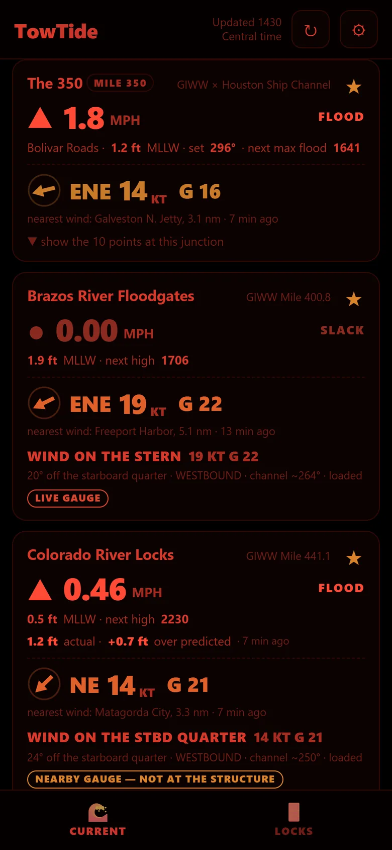
TowTide gives towboat crews on the Texas and Louisiana Gulf Intracoastal Waterway the current in MPH, the floodgates, lock status, and which side of the tow the wind is on. Plan a run and see your ETA at every lock, bridge and crossing.

Available in the United States on iPhone and Android.
Built for the wheelhouse
Current in MPH
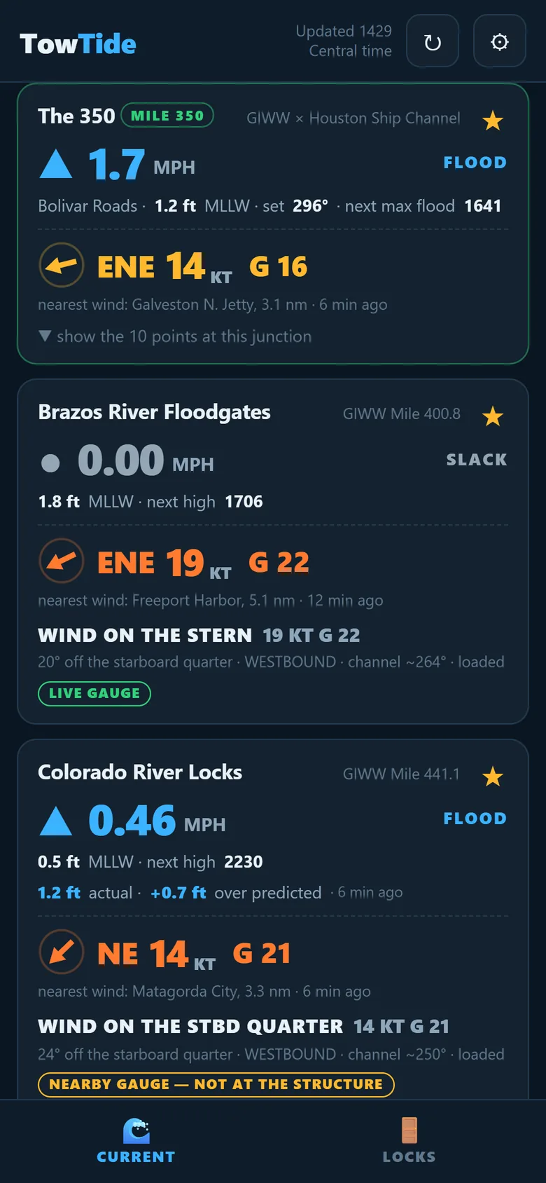
Real water speed, not just tide height. Flood, ebb or slack at a glance, the next slack, and the next high or low, from NOAA predictions.
Floodgates & locks
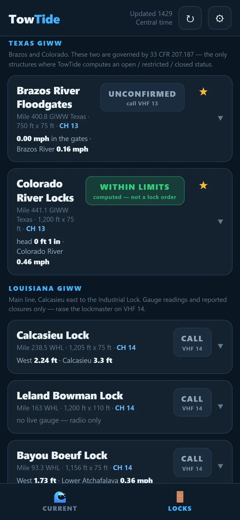
Brazos and Colorado floodgates gate by gate, and the lock chambers from Texas into Louisiana, with closures reported by the Corps of Engineers.
Which side is the wind on?
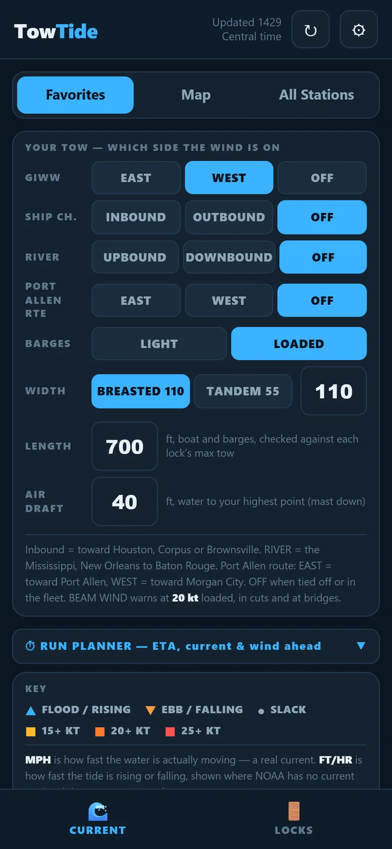
Set your direction and loaded or light. TowTide tells you if the wind is on the bow, the beam or the stern, and warns on a beam wind in cuts and at bridges.
Run planner
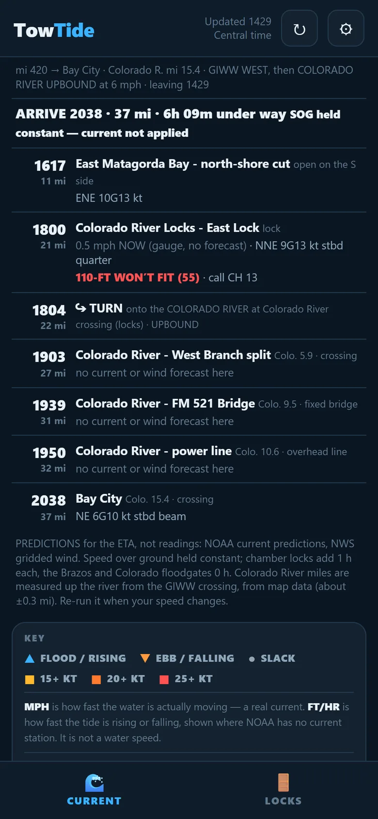
Pick FROM and TO by mile or place, set your speed, and get an ETA at every lock, floodgate, bridge and crossing, with the forecast for when you get there.
Side channels
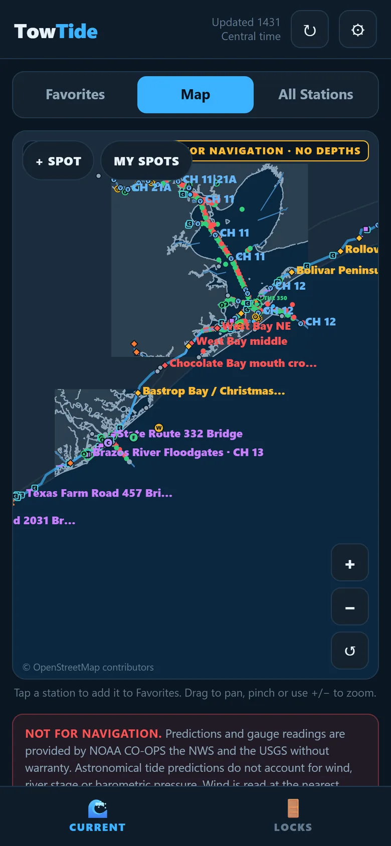
Houston and Texas City ship channels, the Mississippi and Port Allen route, the Colorado River up to Bay City, and Chocolate Bayou.
Your own spots
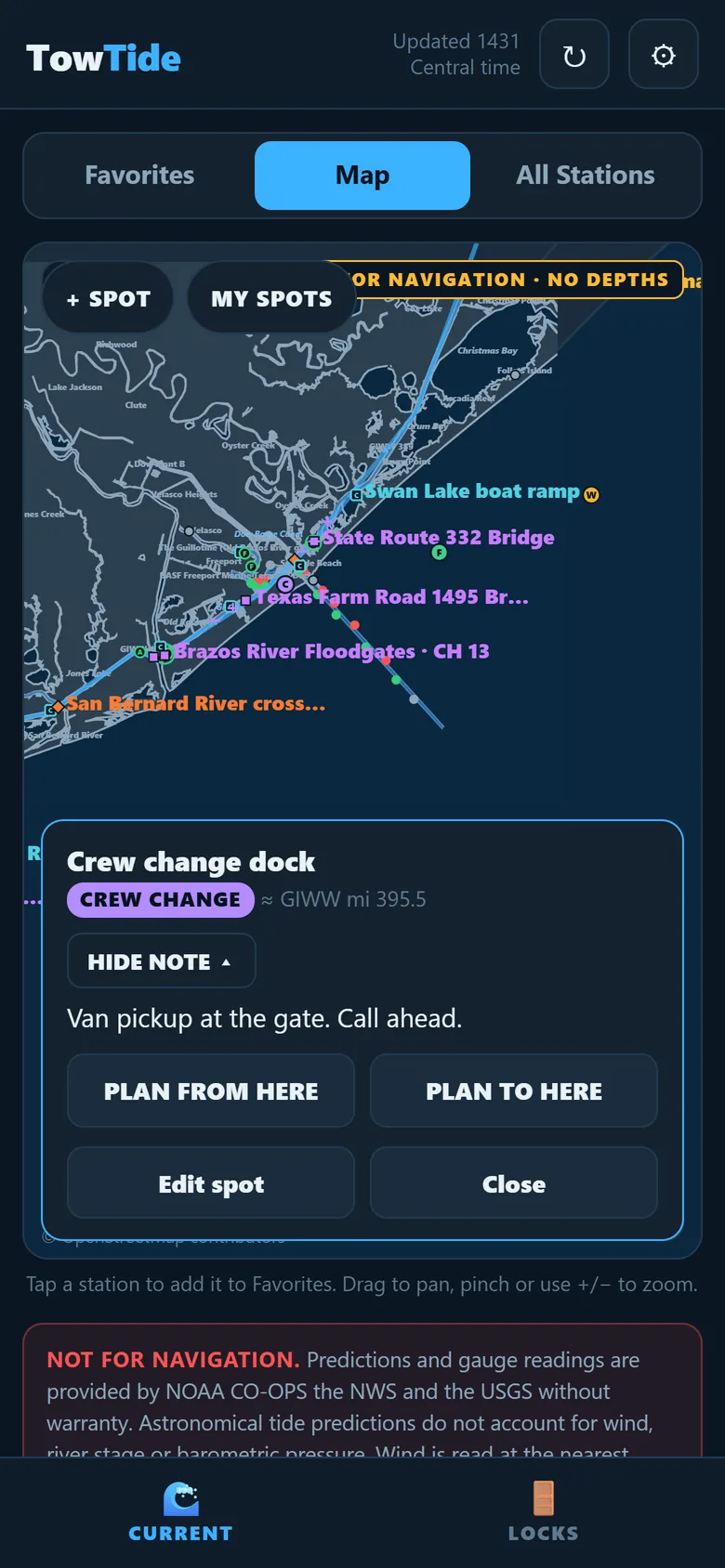
Save crew-change docks, fuel, moorings and wait spots on the chart, with a short note. Plan a run from or to any of them.
Screens
TowTide Pro
TowTide is a subscription app: everything in it is part of TowTide Pro, a monthly or yearly subscription bought inside the app through the App Store or Google Play. First-time subscribers get the first month free on the monthly plan. The current price for your account is shown in the app and on the store listing before you buy.
- Current in MPH, tides, floodgates and lock status
- Which side of your tow the wind is on, plus live wind and weather warnings
- The run planner with ETAs, current and wind ahead
- The 0600 / 1200 / 1800 / 2359 forecast on every station
- Unlimited favorites and your own saved spots
Subscriptions renew automatically unless cancelled at least 24 hours before the period ends. Manage or cancel in iPhone Settings → your name → Subscriptions, or Google Play → Payments & subscriptions. Deleting the app does not cancel a subscription. See the Terms of Use and Privacy Policy.